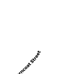
21 BURNCOAT HEIGHTS
Owner Information
BONDZIE,DANIEL
21 BURNCOAT HEIGHTS
WORCESTER, MA 01606 1108


Property Details
21 BURNCOAT HEIGHTS is classified as a Single Family Residential (Half duplex).
The primary structure on this property was built in 2019. There are 2,754ft2 of built area within this property. There is 1,738ft2 of residential/living space within this property. This property is listed as having 5 rooms.
21 BURNCOAT HEIGHTS is valued at $325,200. The land is valued at $58,900 and the structures are valued at $266,300.
This property is in Zone RL-7. Confirm with local Zoning Board authorities to ensure there are no overlays or other easements on this property.
The most recent deed for 21 BURNCOAT HEIGHTS is recorded at the local registrar in Book 64221, Page 288. 21 BURNCOAT HEIGHTS was last sold on Wednesday, January 13, 2021 for $415,000.
Assessment data from fiscal year 2021.
Flood Data
According to the FEMA National Flood Hazard Layer, this property does not appear to be in a flood zone. It may also be in an area not yet reviewed. Nonetheless, confirm this information prior to taking any action.
To view the flood hazards around this property, create a FEMA "Firmette" Map of the area around 21 BURNCOAT HEIGHTS.
Broadband Internet Providers
| Provider | Type | Bandwidth (mbps) | |
|---|---|---|---|
| Viasat Inc | Satellite | 100 | 3 |
| VSAT Systems, LLC. | Satellite | 2 | 1 |
| HughesNet | Satellite | 25 | 3 |
| GCI Communication Corp. | Satellite | 0 | 0 |
| T-Mobile | Fixed Wireless | 25 | 3 |
| Charter Communications Inc | Cable | 940 | 35 |
| PAETEC Communications, Inc | Fiber | 0 | 0 |
| Verizon New England Inc. | DSL | 10 | 1 |
| Crown Castle Fiber | Fiber | 0 | 0 |
Broadband service provider data from December 2020.
Adjacent Properties
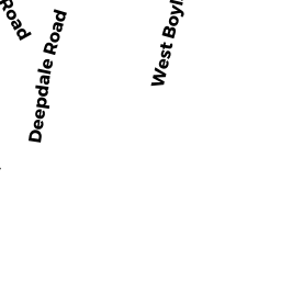
- 950 WEST BOYLSTON ST
Church, Mosque, Synagogue, Temple, etc... owned by ROMAN CATHOLIC BISHOP OF WORCE - 950 WEST BOYLSTON ST
Telephone Relay Towers owned by ROMAN CATHOLIC BISHOP OF WORCE - 23 BURNCOAT HEIGHTS
Single Family Residential owned by BRACKEN,KELLI + PERRY,ANTHONY - 19 BURNCOAT HEIGHTS
Single Family Residential owned by SIDDIQUI,MOHAMMED + ARA,ZAINAB - 946 WEST BOYLSTON ST
Parking Lots - a commercial open parking lot for motor vehicles owned by HOTAREK,BRAIN TRUSTEE